
Westborough Neighbors: Block Sources
Public sources around one Westborough address establish different things. A parcel map can show which lots touch or sit nearby. The assessor card describes a property and lists an owner or mailing field. A dated street list or directory can support an historical address question. Civic organizations describe public activities and contact routes. None of these sources turns a parcel boundary into a list of present-day neighbors, so the record type and its date should travel with every note.
| Block source | What it can show | Access route |
|---|---|---|
| Westborough GIS | Target parcel, surrounding polygons, zoning, and publicly displayed parcel context | Town GIS address search |
| MassGIS property map | Parcel clicks, attribute table, map extent, and documented Find Abutters control | State interactive map |
| Patriot Properties | Situs, parcel ID, owner or mailing field, building facts, and book/page | Free FY2026 assessor portal |
| Street Lists and local directories | Dated house-number and name associations where collections exist | Archive and library research |
| Town resource directory | Public community organization listings and public contact routes | Town category and A-Z search |
Property ownership and current residency are different questions. A tax-assessment owner may use a different mailing address, act for a trust or organization, or have no current connection to daily life at the parcel. A carefully dated source can be useful without being stretched beyond its purpose.
Map Westborough Neighbors by Parcel
The GIS adjacency method starts with one known address and moves outward only through the public parcel layer. In Westborough's GIS, search the address from the left box, select the Westborough address result, choose Assessors Parcel Data, and click the highlighted parcel. The local popup includes zoning. From there, shared boundaries and nearby polygons can be inspected one at a time.
- Locate the target address and note the parcel identifier shown publicly.
- Turn on the parcel or assessor layer, then inspect polygons that share a boundary or are immediately adjacent.
- Click each relevant parcel and record only its displayed parcel ID, address context, zoning, and source date.
- Use the assessor card only to understand the property record. Do not assume the owner or mailing field identifies the people who live there.
- Use MassGIS's documented Find Abutters control when the state map gives a clearer, stable parcel workflow.
The result is a parcel-based block sketch, not a resident roster. For a complete address-by-address record trail along a named road, use the Westborough street directory workflow instead.
Westborough GIS Popup Limits
A popup can establish that a map layer connects to a particular parcel and can provide public property context such as zoning. It does not settle a survey line, title, occupancy, or the identities of people associated with a household. The town parcel-map index specifically warns that static maps are not legal documents and should not be used for assessment or reference purposes. A GIS result is a strong place to start a records search, but it needs a property card, recorded instrument, or other source when the question is more exact.
MassGIS adds useful mechanics without changing that limit. Its interactive property map documents address or place type-ahead, parcel clicks, land valuation, owner and use fields, an attribute table, filters, and a basemap gallery. The June 2026 statewide parcel data includes Westborough, but statewide fields and local popups do not necessarily match. Preserve the map date and the interface used rather than copying a changing screen into a permanent claim.
Westborough Neighborhood Geography
Parcel context can be described without describing private people. The town's zoning layers include residential R, conservation C, Downtown Business BB, industrial IA, IB, and IC, town-owned M-1, and mixed-use designations. The zoning map also identifies overlays such as the MBTA multifamily areas at Gleason Street and two Turnpike Road areas. These are land-use labels, not neighborhood membership boundaries.
West Main Street's historic district, the downtown rotary, Route 9, I-495, commuter-rail tracks, and Bay State Commons are useful orientation points in town planning material. They can help distinguish one part of Westborough from another when reading a map or an old local source. A postal ZIP, a precinct, a parcel line, and a familiar neighborhood name remain separate geographies.
Westborough Neighbors and Civic Groups
Community connections are better represented by public groups than by a claimed household list. The town's Resource Directory supports category, name, and A-Z searching. Its public listings include the Rotary Club, Westborough Civic Club, Westborough Community Land Trust, Westborough Women's Club, Westborough TV, and Explorer Post 85. Those listings point to civic activity and public contacts, not to everyone who lives in a particular area.
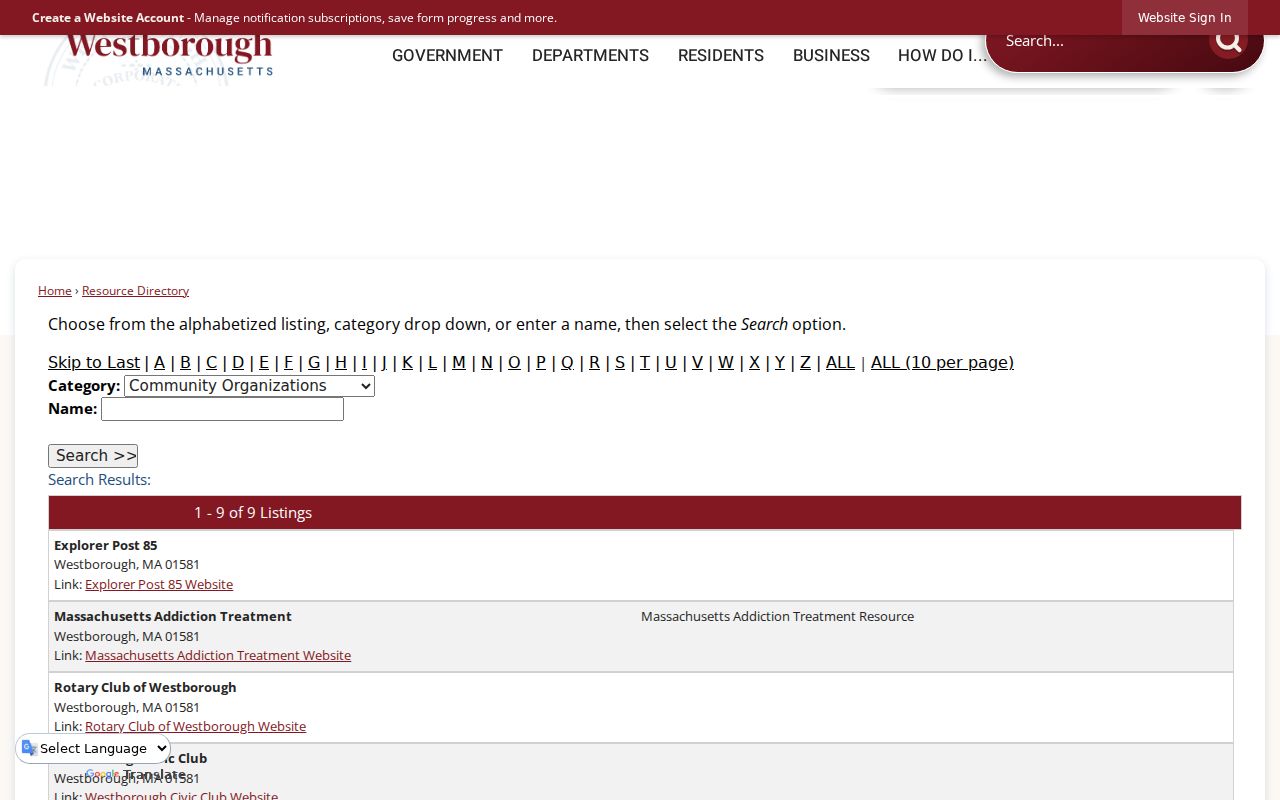
The directory view provides a public way to find community categories without treating an organization listing as evidence about a private household. It is a useful companion to parcel research when the question is about civic resources near a block.
Westborough Civic Contact Routes
The research located public contact routes for several long-running local organizations. They provide ways to learn about shared activities, rather than a means to assemble private lists of neighbors.
| Public organization | Documented local detail | Public contact route |
|---|---|---|
| Westborough Civic Club | Organized in 1975; activities include Christmas trees and an annual fishing challenge. | info@westborocivicclub.com, P.O. Box 155 |
| WASA | Has supported local youth since 1935; no public member directory was located. | info@westboro.org, P.O. Box 165 |
| Town boards and committees | Public government and agenda resources identify official meetings and bodies. | Town Government and Agenda Center |
See the WASA public site for the source behind its community contact information.
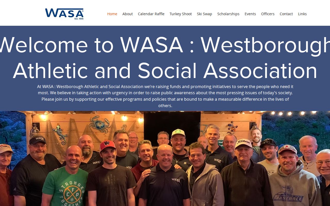
The public page is a community contact resource. It does not supply a block roster or a list of homes connected to a youth activity.
Westborough HOA Roster Gap
No official townwide homeowner-association directory, neighborhood-association membership list, block-level resident directory, or HOA roster was located in the reviewed sources. The Town Government and Agenda Center expose public boards and committees, but neither source converts civic participation into a household directory. That negative finding matters: an association name, a parcel boundary, and a public meeting agenda cannot establish who belongs to a private group or who lives on a given block.
When a local organization is relevant, use its public contact route and describe only the activity or purpose it publishes. Do not infer membership, a current address, or a personal relationship from a community listing.
Westborough Block History Sources
Older block questions belong in local collections, not in current parcel data alone. The Westborough Public Library's Westborough Room holds town and county histories, biographies, census material, maps, newspapers, organizational and town directories, manuscripts, photographs, personal papers, military records, church history, and local ephemera. Its stated strengths include early families, multigenerational genealogies, maps, historic newspapers, military history, selected churches, and the papers of Rev. Ebenezer Parkman and Eli Whitney. Some gaps reflect collecting history rather than an absence of local life.
The Westborough Archive adds town records from 1717 to 1930, digitized newspapers, maps, yearbooks, research guides, and Street Lists from 1924 forward. Its house-research guidance describes the lists as usually including names, house numbers, a same-house-last-year marker, occupation, and sometimes nationality. Use a particular edition and page to make a time-bounded historical statement. Do not convert it into a current list of neighbors.
Westborough Records and Neighbor Tools
Official records and commercial neighbor-lookup tools serve different purposes. A block question is more reliable when its answer names the source, date, and limit instead of relying on a broad profile or an unexplained match.
| Source type | Useful for | What to verify |
|---|---|---|
| Official GIS and assessor records | Parcel context, property fields, owner or mailing field, and zoning | Whether a field concerns the parcel, owner, mailing address, or occupancy |
| Registry and dated local collections | Recorded instruments and historical address associations | Document date, party role, edition year, spelling, and legal description |
| Commercial neighbor-lookup tools | Broad leads that may need independent checking | Source date, match basis, coverage, and whether the claim appears in an official record |
Keep at least two non-sensitive corroborators before connecting records to the same person. An exact parcel plus a deed reference is stronger than a name alone, and a source with no result only describes the system and period searched.
Westborough Neighbor Lookup Limits
Massachusetts public-record access has important exclusions at block scale. A local street list may support a year-specific street and house-number question, but protected addresses and confidential voter records remain excluded. The state does not provide a general public statewide central-registry lookup. Do not combine an abutter map with voter date of birth or party information, and do not republish a list of private neighbors. A safer output identifies parcel IDs, public civic institutions, and research routes without reproducing sensitive personal fields.
The Address Confidentiality Program protects the actual addresses of survivors who have relocated. No apparent online record should be used to defeat a protected or confidential address. Utility, delivery, driver, vehicle, medical, financial, minor, and other sensitive information are not appropriate block-research targets. A parcel map should create context, not pressure or exposure for people who live nearby.
Lawful use. Westborough neighbor research is appropriate for personal, lawful civic curiosity, property orientation, family history, and reconnecting through public community contacts. Do not use it to watch, stalk, harass, intimidate, or harm anyone.