
Westborough ZIP Code Directory Coverage
The only current Westborough delivery ZIP directly confirmed by the official local post-office result is 01581. Older postal-label sources associate 01580 and 01582 with historical or legacy Westborough groupings, but official research did not locate a current USPS city-and-state result that establishes either as a present Westborough delivery ZIP. That difference matters. The directory should identify what USPS has confirmed and mark the remaining entries as address-specific questions rather than fill in an assumed coverage area.
| ZIP | Areas Covered | Post Office | Notes |
|---|---|---|---|
| 01581 | Westborough delivery area | Westborough Post Office, 150 E Main Street, Westborough, MA 01581-9998 | Current official local result. Verify each exact address. |
| 01580 | Historical or legacy Westborough grouping | Not verified as a current Westborough delivery result | Do not describe as current without an exact-address USPS result. |
| 01582 | Historical or legacy Westborough grouping | Not verified as a current Westborough delivery result | Do not describe as current without an exact-address USPS result. |
The official Westborough Post Office listing supplies the confirmed local delivery reference.
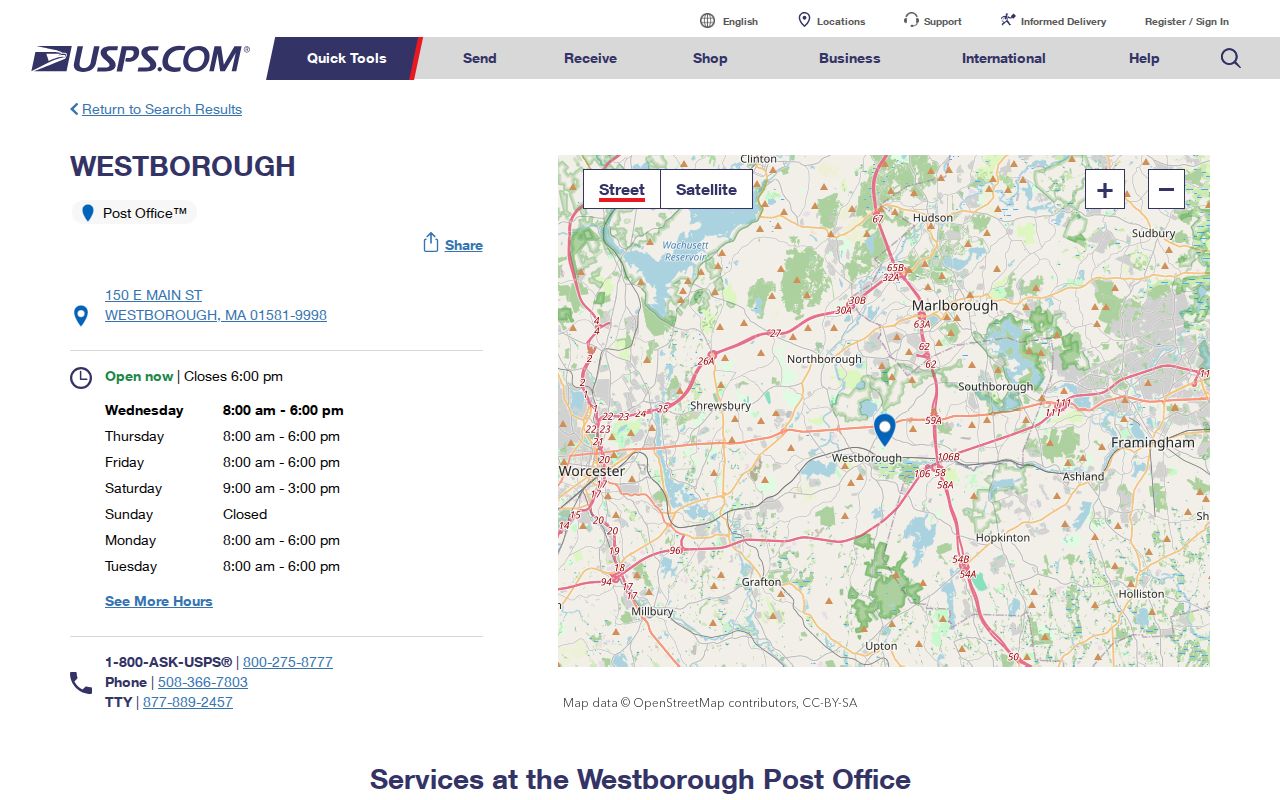
The post-office result confirms a postal location. It does not supply a public roster or a municipal boundary map.
Confirm Westborough ZIPs by USPS
USPS postal lookup has three documented modes: Find by Address, Find by City and State, and Find Cities by ZIP. The exact-address route is the most reliable starting point for a Westborough postal question because it returns the delivery result for a specific location. City-and-state and ZIP-only searches are useful for orientation, but they do not replace the address result when a street sits near a town line or carries a different mailing city.
| Find by Address | Street address, city, and state. Use for the ZIP assigned to a specific delivery address. |
|---|---|
| Find by City and State | City and state. Use to check a postal-place query, then verify the exact address. |
| Find Cities by ZIP | ZIP input. Use to see the postal city association, not to establish a town boundary. |
| Returned record | Postal ZIP and preferred mailing city for the requested lookup mode. |
The USPS lookup screen shows the three postal search methods.
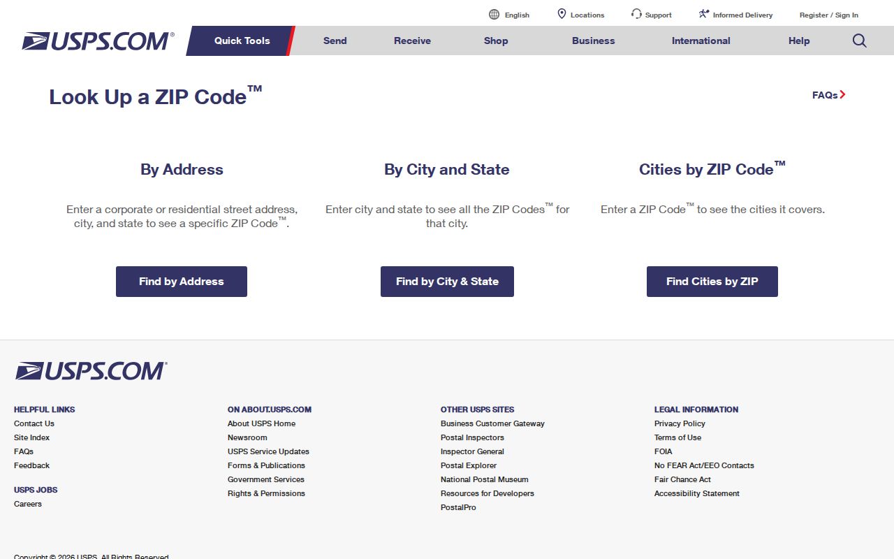
Use the full input exactly as known, including the house number and street suffix, then save the returned postal city and ZIP with the access date.
Find Westborough Residents by ZIP
There is no documented public Westborough person search that returns all residents in one ZIP. USPS is an address-verification tool, not a resident roll. The assessor, GIS, PermitPro, and local voter or street-list routes are also keyed to an address, owner, parcel, or local request rather than a ZIP-wide person filter. A verified ZIP can organize a research file, but it does not replace an address or a record-specific key.
- Normalize the house number, street name, and suffix from the record already in hand.
- Run USPS Find by Address and retain the returned ZIP and preferred mailing city.
- Compare the postal city with the assessor situs, GIS municipality, and Registry town filter.
- Use the confirmed address or parcel in the relevant local record system, then note whether that source is about ownership, a map feature, or a dated municipal listing.
- Preserve conflicting postal and municipal values rather than silently replacing one with the other.
Once an exact address is confirmed, the Westborough streets resource is the appropriate route for a fuller address-by-address records trail.
Westborough ZIP Code Search Fields
Each local system accepts a different search key. The Patriot Properties assessor form has no ZIP field. It accepts optional parcel, owner, street name, street number, building type, value, date, and book/page criteria, while the resulting parcel card displays a current property mailing ZIP. A displayed mailing ZIP is a correspondence field, not proof that the owner occupies the parcel or that the parcel falls inside a postal boundary.
| System | Search Fields | ZIP Role | Limit |
|---|---|---|---|
| USPS | Address, city/state, or ZIP | Authoritative postal result for an exact address | Does not provide a resident search |
| Patriot Properties | Street, number, owner, parcel, book/page, and optional property filters | Mailing ZIP appears on the card | No ZIP filter on the search form |
| Westborough GIS | Address or place search and parcel selection | No documented ZIP-wide filter | Parcel geography is not postal geography |
| PermitPro | Address autocomplete | No ZIP field exposed in town instructions | Address-led, with current and active permits from September 2018 |
| Street list | Local year, format, and allowable fields through the Town Clerk | No ZIP-wide public search located | Statutory exclusions apply |
Note: A field shown on a result card is not necessarily a field that the public can search across the whole system.
Westborough Parcel Data Sources
Postal verification and local parcel research should remain separate steps. The town’s GIS uses address or place search, then parcel selection. Its public-records instructions direct users to select a Westborough address, choose Assessors Parcel Data, and open the highlighted parcel for a zoning popup. MassGIS Interactive Property Map documents address type-ahead, parcel clicks, an attribute table, map-extent filters, and Find Abutters, but the official Westborough documentation does not identify a local ZIP field or ZIP polygon.
The MassGIS property map interface shows parcel-focused tools that can support an address check.
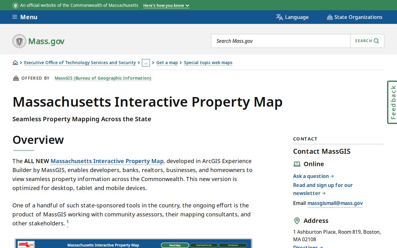
Parcel attributes, map extent, and abutter controls are useful for geographic context, but they do not turn the map into a verified ZIP boundary layer.
Westborough Postal Boundary Limits
A postal city can differ from a town limit, parcel location, precinct, school district, or neighborhood. USPS explains that mailing city and town names do not always align with municipal boundaries. For Westborough, no official current ZIP-boundary map or public cross-boundary address list was located. That gap is a reason to verify first, not a reason to draw an implied postal outline around the town.
- ZIP and ZIP+4
- A ZIP identifies a postal delivery area. ZIP+4 adds a more specific delivery segment and does not create a municipal boundary.
- PO-box ZIP
- A postal code used for post-office boxes. It may not describe delivery to nearby street addresses.
- Unique ZIP
- A ZIP assigned to a single organization or delivery setting. None was confirmed here as a Westborough resident ZIP.
- Carrier route
- A postal delivery sequence used for mail handling, not a resident list or civic district.
Westborough Legacy ZIP Labels
01580 and 01582 may appear in older labels or historical sources associated with Westborough. The research result is deliberately narrow: neither has a current official USPS city-and-state confirmation as a present Westborough delivery ZIP. Keep the original historical label in a citation, then test any modern address through USPS. This preserves the source record without converting a legacy grouping into a present delivery claim.
Postal geography changes independently of town, parcel, and historical-directory geography. The recurring comparison is simple: a municipal record establishes the fact it was made to establish, while USPS establishes the current mailing result for the exact address entered.
Westborough Postal Research Gaps
There is no documented official current ZIP map for Westborough, no ZIP-wide public resident lookup, and no documented ZIP filter in the local assessor, GIS, PermitPro, or voter-list route. The accurate fallback is an address-by-address USPS check followed by the appropriate town or county record. A time-sensitive result should retain its USPS lookup mode, returned city and ZIP, source URL, and access date.
That record trail also prevents a common mistake: treating an assessor mailing ZIP, GIS map point, or historical postal label as though all three describe the same geography. They do not.
Westborough ZIP Check Record
A dependable postal result should keep both the delivery answer and the source record that led to it. The postal answer is the ZIP and preferred mailing city returned by USPS for the exact address entered. The companion record may be an assessor card, a GIS parcel, a Registry town filter, a permit record, or a dated street-list entry. Each has its own purpose. An assessor situs identifies a parcel location, for example, while its mailing field identifies where tax correspondence is directed.
- Address input: Save the house number, street spelling, suffix, city, and state used in the USPS query.
- Postal response: Record the returned ZIP, preferred mailing city, lookup mode, and access date.
- Municipal comparison: Keep the assessor situs, GIS municipality, or Registry town result in a separate field.
- Source limit: State whether the record concerns delivery, a parcel, ownership, a map feature, or a dated local listing.
Westborough’s assessor data is identified as FY2026, and the Massachusetts parcel dataset has a June 2026 vintage. USPS results and local portal controls can also change. Recording the date and exact source avoids confusing a refreshed portal with a change in the underlying address or town geography. It also makes a later correction possible without guessing which ZIP result was used.
When two sources disagree, retain both values and describe the difference. A postal response may be correct for mail delivery while the GIS and assessor records remain correct for the municipal parcel. Neither result needs to be forced into the other system’s terms.